Free Geographic Information Systems (GIS) Training Opportunity at Precision Field Academy | Apply Now
Job Description
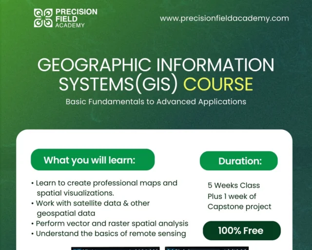
The GIS Basic Course provides a comprehensive introduction to Geographic Information Systems (GIS), taking you from fundamental concepts to practical spatial analysis, mapping, and remote sensing techniques.
Throughout the programme, you will gain hands-on experience using modern GIS tools to collect, manage, analyse, and visualise geographic data for real-world applications.
Whether you are a student, researcher, environmental professional, surveyor, urban planner, drone operator, or aspiring GIS analyst, this course is designed to equip you with practical, industry-relevant GIS skills that you can immediately apply to real-world projects.
Duration
- 5 Weeks of Learning
- + 1 Week Capstone Project
Who Should Enrol?
This course is suitable for learners and professionals across different industries, including:
- Students
- Graduates
- GIS Beginners
- Surveyors
- Urban & Regional Planners
- Environmental Scientists
- Agricultural Professionals
- Researchers
- Drone Pilots
- Remote Sensing Analysts
- Engineers
- Development Professionals
- Government Officers
- Anyone interested in spatial data and GIS
What You Will Learn
- By the end of the course, participants will be able to:
- Understand the fundamentals of Geographic Information Systems (GIS)
- Interpret and manage spatial data effectively
- Work confidently with vector and raster datasets
- Perform spatial analysis for informed decision-making
- Create professional maps and visualisations
- Apply GIS techniques to solve real-world problems
- Complete an industry-style GIS capstone project
Prerequisites & Requirements
To participate effectively, you will need:
- Basic computer skills
- A high-performance laptop suitable for GIS applications
- Basic knowledge of geography
- Willingness to learn and complete practical assignments
Learning & Engagement
Participants will benefit from:
- Weekly assignments and classwork through a dedicated submission portal
- Dedicated WhatsApp learning community for discussions, questions, and support
- Live practical sessions featuring demonstrations, guided exercises, and opportunities to ask questions
What You Will Gain
Upon completing the programme, you will gain:
- A strong foundation in GIS, cartography, and spatial data management
- Hands-on experience with satellite and drone image processing
- Practical skills in vector and raster analysis
- Confidence in producing professional GIS maps and visualisations
- Real-world project experience through a capstone project
- Certificate of Completion
Why Learn GIS?
GIS is transforming industries worldwide.
From agriculture and environmental management to logistics, urban planning, disaster response, public health, and infrastructure development, organisations increasingly rely on GIS professionals to make smarter, data-driven decisions.
By completing this course, you will develop practical GIS skills that are increasingly valuable across both the public and private sectors, opening up opportunities in a wide range of industries.
Application Deadline: 09 August 2026
Apply here
Requirements
To participate effectively, you will need:
- Basic computer skills
- A high-performance laptop suitable for GIS applications
- Basic knowledge of geography
- Willingness to learn and complete practical assignments
Learning & Engagement
Participants will benefit from:
- Weekly assignments and classwork through a dedicated submission portal
- Dedicated WhatsApp learning community for discussions, questions, and support
- Live practical sessions featuring demonstrations, guided exercises, and opportunities to ask questions
What You Will Gain
Upon completing the programme, you will gain:
- A strong foundation in GIS, cartography, and spatial data management
- Hands-on experience with satellite and drone image processing
- Practical skills in vector and raster analysis
- Confidence in producing professional GIS maps and visualisations
- Real-world project experience through a capstone project
- Certificate of Completion
Why Learn GIS?
GIS is transforming industries worldwide.
From agriculture and environmental management to logistics, urban planning, disaster response, public health, and infrastructure development, organisations increasingly rely on GIS professionals to make smarter, data-driven decisions.
By completing this course, you will develop practical GIS skills that are increasingly valuable across both the public and private sectors, opening up opportunities in a wide range of industries.
Application Deadline: 09 August 2026